Tuesday, September 28, 2010
Red Rocks State Park, Gallup, NM - June 16-22
 The campground here is beautiful and reasonably-priced; however, the wind was a problem the whole time we were here. Our first day we opened the outside door and windows, but after finding everything covered with a fine layer of grit that evening, we closed up and ran the A/C the rest of our stay. Gallup was named for D.L. Gallup, paymaster for the A&P Railroad, which was instrumental in starting the community around mile marker 157.5. Since Gallup's name was printed on every pay envelope and all the bags of money, his name stuck.
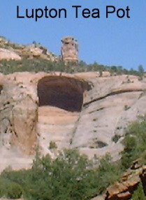 Our first driving day took us to Window Rock, AZ, named after its most prominent feature, and capital of the Navajo Nation. Our first stop was the Navajo Nation Museum, Library, and Visitor's Center. Excellent museum displays included the Long Walk, Navajo Codetalkers, and pictures by two prominent Navajo photographers. From there we drove to Veteran's Memorial Park just below the Window Rock, and when we arrived, there was a Unity Day of Prayer Service just starting. Three separate prayers were offered: a Traditional Ceremony, the Native American Church (these first two were in Navajo), and Christianity (in English). The prayer topics were listed in a printed agenda, and included the drought, the 2002 election (for president of the Navajo Nation), family unity, and world peace, as well as restoration of Mother Earth and of Dine' values & spirituality. We saw an interesting juxtaposition of the traditional and modern worlds when a group of elderly Navajo women arrived, dressed in very traditional garb, each with their folding Wal-Mart chairs slung over their shoulders, which they proceeded to unroll and sit in for the service.
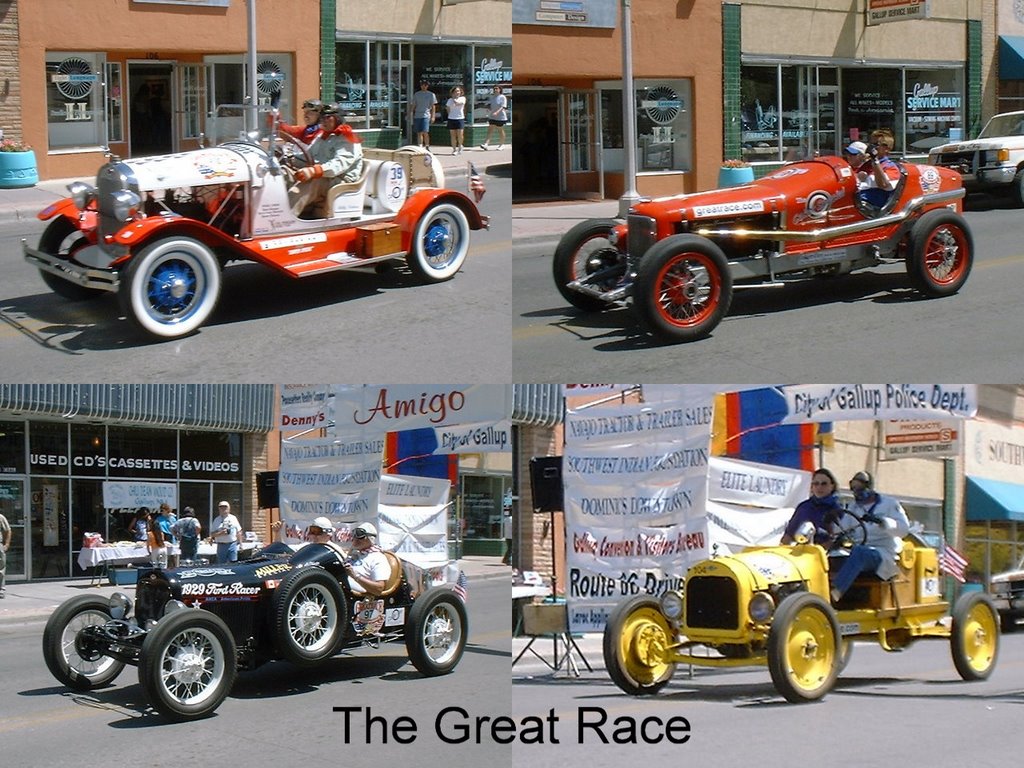 We enjoyed a lunch of Navajo Tacos at the Indian Market in Window Rock (the best we have found so far!), then drove west a couple of miles to St. Michaels, home of the St. Michael's Mission. The original mission building has been restored and converted to a museum depicting the life of the early Jesuit priests and their work publishing a dictionary of the Navajo language. The Navajo language is quite complex -- it has, for example, at least 6 different sounds associated with the letter "e" -- so this was a very difficult task. A short drive south (made long by road construction) took us by the Lupton Tea Pot, a silly (but cute) rock formation.
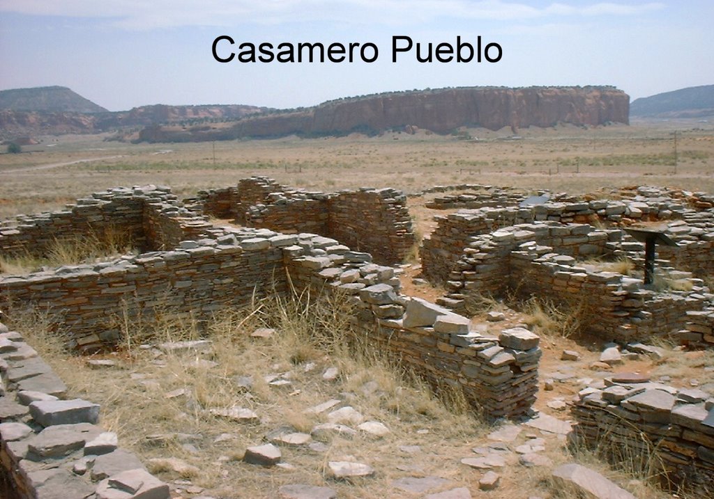 Sometimes serendipity plays an important part of our schedule, as it did when we read that the next day, the 20th Annual Great Race, a rally-race of over 100 classic cars, was driving through Gallup. Participating cars must have been made before 1951 (with a few exceptions); the oldest was a 1911 Velie. This year's race was from San Antonio to Anaheim, and some of those puppies were really struggling under the 90+ temps and the moderate (by CO standards) climbs between Albuquerque & Gallup, but only one needed towing. It was fun to see how some of the drivers got into it, with dusters, caps, and goggles. Afterwards we toured some of Gallup's free fun things to do, including their own Codetalkers Museum (not as good as Window Rock's), the Storyteller Museum (quite good), the Playground of Dreams (a huge wooden playground), and the "We the People" park, containing quite fascinating, diverse, and creative outdoor sculptures.
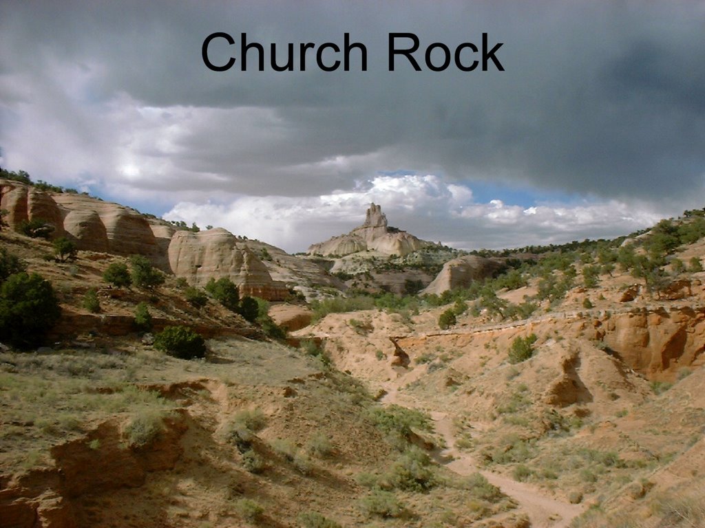 Our next planned activity was Casamero Pueblo, ruins of an early Chaco outlying settlement. Only about 12 rooms, we found no literature on it beforehand, and only spent a short time there. Even more disappointing was Bluewater Lake SP, where we had planned to have lunch, but drove straight through & home for lunch. The park was okay but too windy to stop & enjoy an outdoor lunch. That afternoon we hiked to Church Rock, the most prominent feature in Red Rocks SP. The trail we took (none are well marked!) ended in two separate box canyons.
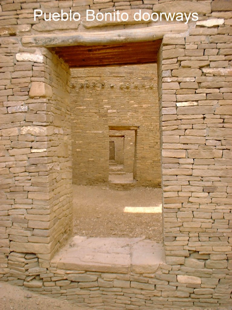
 In the late 1980s we spent a week tenting in Chaco Culture Natl Historic Park and found it to be a magical experience. We decided to take a day trip there, coming in from the south. The road is horrendous (18 miles in exactly 1 hour), but it was worth the drive. While Chaco may have lost some of its magic due to popularity, there is still an indefinable energy there. Again serendipitously, we were there on Summer Solstice, and Native Dancers from Acoma Pueblo were performing at Pueblo Bonito.
  They extended their scheduled time by performing a Rain Dance, and, incredibly, midway through the dance, the sky opened up and we were drenched for about 5 minutes with a good solid rain -- the first rain we have seen since Texas, 3 months ago.
El Morro RV Park, El Morro, NM - June 9-16
 The actual town of El Morro is marked on the map just east of El Morro Natl Mon. However, we did not see any evidence of a town while we stayed here. The small, very basic RV park is conveniently located to places we wanted to visit & quite cheap ($60/week for full hookups), so it met our needs. Right across the street is the Old School Gallery, home to the El Morro Area Arts Council. It had a surprisingly eclectic mix of fine art as well as being the local center for all types of "alternative" activities, from drumming to Tai Chi to poetry readings, as well as workshops for local children & adults. Almost like being back in Boulder.
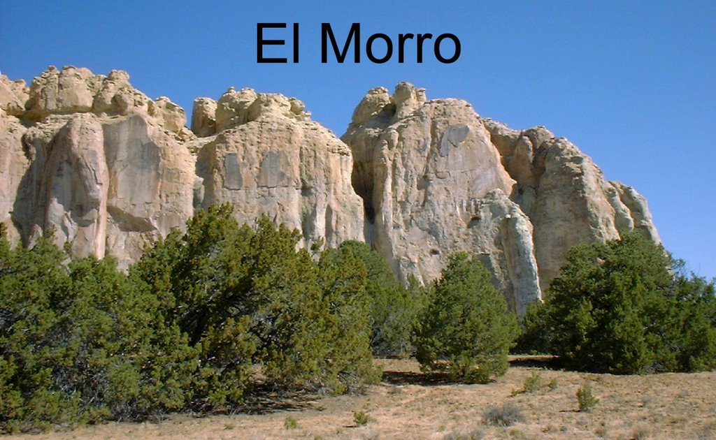
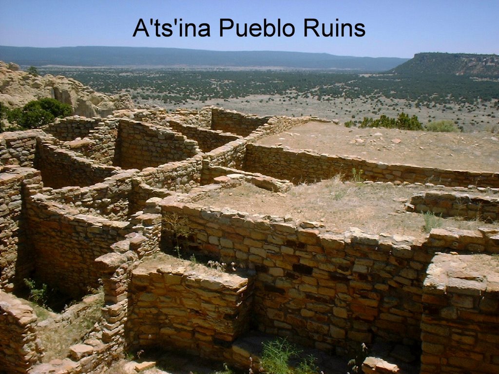 We were less than a mile from El Morro Natl Mon, which we visited several times. It has a very nice hiking trail, which wanders past many of the signatures carved in the famous Inscription Rock and then continues to the top of a large sandstone bluff with A'ts'ina Pueblo ruins and lovely views in all directions. There is a lovely natural pool at the base of the sandstone bluff, mentioned by Spanish explorers as early as 1583.
 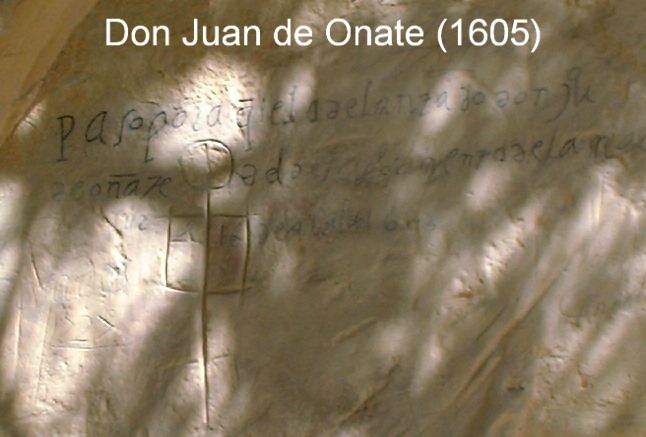 In 1605, the Spaniard Don Juan de Onate, perhaps inspired by the already-ancient petroglyphs, changed the sandstone face forever, carving an inscription of his discoveries for all to see.
 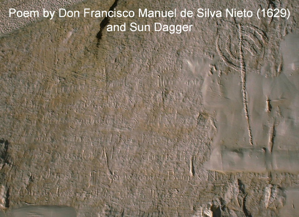 For the next 300+ years, passers-by from other Spanish explorers to US military expeditions to railroad crews have left their marks in the stone. Many US settlers added their names to the rock, and research has been done on many of them so you can know more about each person.
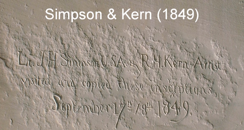
 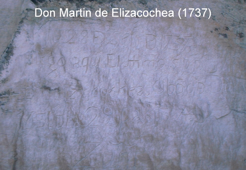 The first English inscription was made in 1849.
We visited the nearby Zuni Pueblo and the A:shiwi (Zuni) A:wan Museum and Heritage Center to learn more about the Zuni culture & crafts. Zuni Pueblo is the largest of the 19 pueblos in NM, both in size (over 600 sq miles) & in population (over 11,000 residents). It is a traditional pueblo which maintains much of its traditional way of life, while also having more modern conveniences (electricity, running water, etc). We were able to walk through the pueblo and see the outside of the historic mission church.
The church is famed for its murals, but unfortunately it was not open the day we visited.
Another day we went to the Pueblo of Acoma (Sky City), called the "Oldest Continuously Inhabited City in the US". Archaeologists theorize the occupation of Acoma began between 800 and 1150 AD. The pueblo is built atop a large rock mesa almost 400 ft high, which originally had only one natural entrance, thus making it an ideal site for defense against enemies. The Acoma people mostly live nearby on the valley floor. Each member of the tribe has a house in the pueblo, which they can live in as much as they want to, but the mesa-top pueblo has no modern conveniences. Because of this, there are only 14 year-round families in residence out of 500 houses. Tribal members move to their mesa-top houses when festivals & religious ceremonies are held in the pueblo. San Esteban del Rey Mission was built in 1629, and the tour takes you into the mission. The only way to visit the pueblo is by guided tour, in which you are driven to the top of the mesa in a bus. At the end of the tour, you are allowed to walk down the natural "staircase" back to the tour center, which we considered a highlight of the tour. The road to the mesa-top was originally built in the 1960s by John Wayne, while filming on location. Interestingly enough, despite their prohibition of things modern in the historic pueblo, they allow filming of commercials & movies nearby.
 We visited various areas in the nearby El Malpais Natl Mon (NPS) and Natl Conservation Area (BLM). El Malpais lies between the tribal lands of the Zuni & Ramah Navajo to the west and the Acoma to the east. The area encompasses many interesting landscape features, predominantly huge lava fields. El Malpais means "the badlands", and it is pretty rough country. We visited La Ventana Arch, the largest of NM's natural arches, and stopped at several scenic overlooks on the eastern side of the area.
  We went for a hike in the Big Tubes area, which is almost entirely on lava rock, both the rough very sharp aa rock (think of saying "ow-ow" as you walk on it!) and the smoother ropy pahoehoe type. The trail was marked with rock cairns, also made of lava rock, so it was quite a challenge to find the next marker. We walked beside huge cave entrances, collapsed lava tubes and natural bridges. There is a 17-mile-long system of lava tubes here, which we chose not to explore. Also near El Morro was the Candy Kitchen Wolf Rescue Ranch, founded as a rescue center for unwanted captive-bred wolves and wolfdogs.
 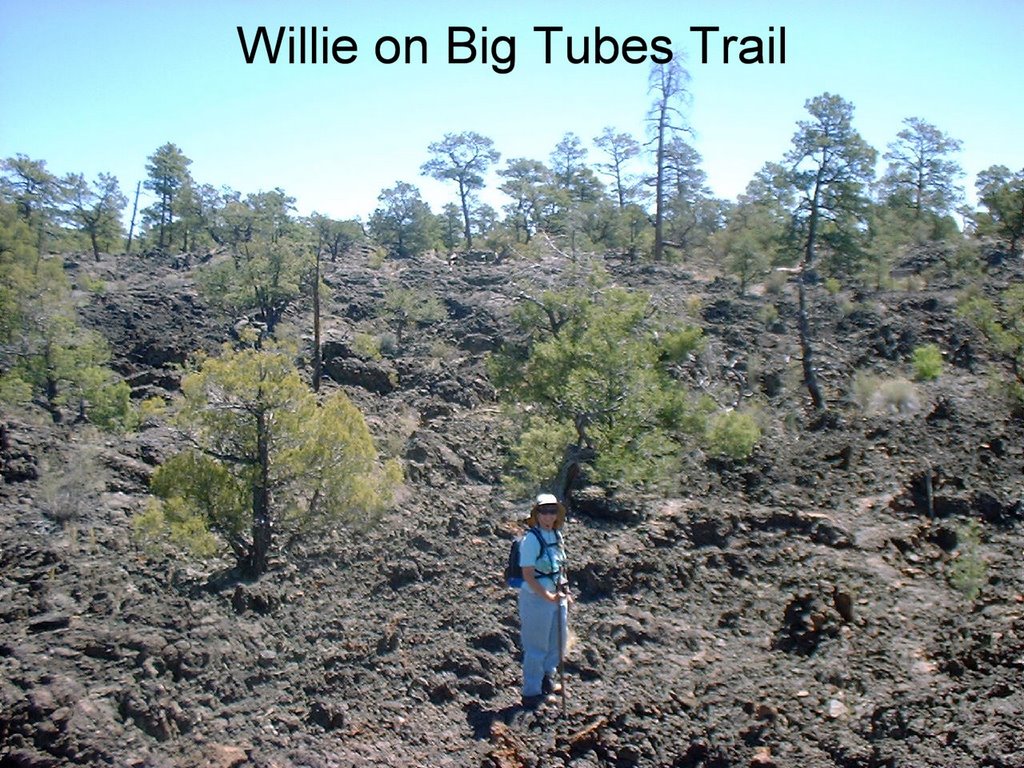 Two of the buildings served as headquarters for the Candy Kitchen Ranch, where pinon nut candy was made during the 1920s & 30s as a front for a bootlegger operation, the candy serving as an excuse for the large amounts of sugar needed to make the moonshine. We were taken on a tour of the ranch and got to see most of the 75 wolf/wolfdog inhabitants. Their mission, in addition to as much rescue as possible, is to educate the public on the wolf, the environment, responsible wolfdog ownership and the humane care & treatment of all animals. We were able to "meet" one wolf and actually pet him. It was somewhat sad, because there are so many unwanted wolfdogs in the US, and all the rescues are full. Many areas will not allow residents to keep wolfdogs, so they must be destroyed.
Cottonwood CG, Canyon de Chelly Natl Mon - May 28-June 1
 This is a "no fee" campground (no water or electric) with a 5-day limit that is mainly enforced when the campground fills up. Most of the sites are smallish, and there are only 4 or 5 really good solar sites. We were able to get one with full sun all day, which had its good side (battery well-charged every day) and its bad side (95+ temps outside and in). Every day we would return from sightseeing and find the cats stretched out as L-O-N-G as they could make themselves. Rainbow keeps ducking into a cardboard box, hoping no doubt that she'll be mailed to Alaska!
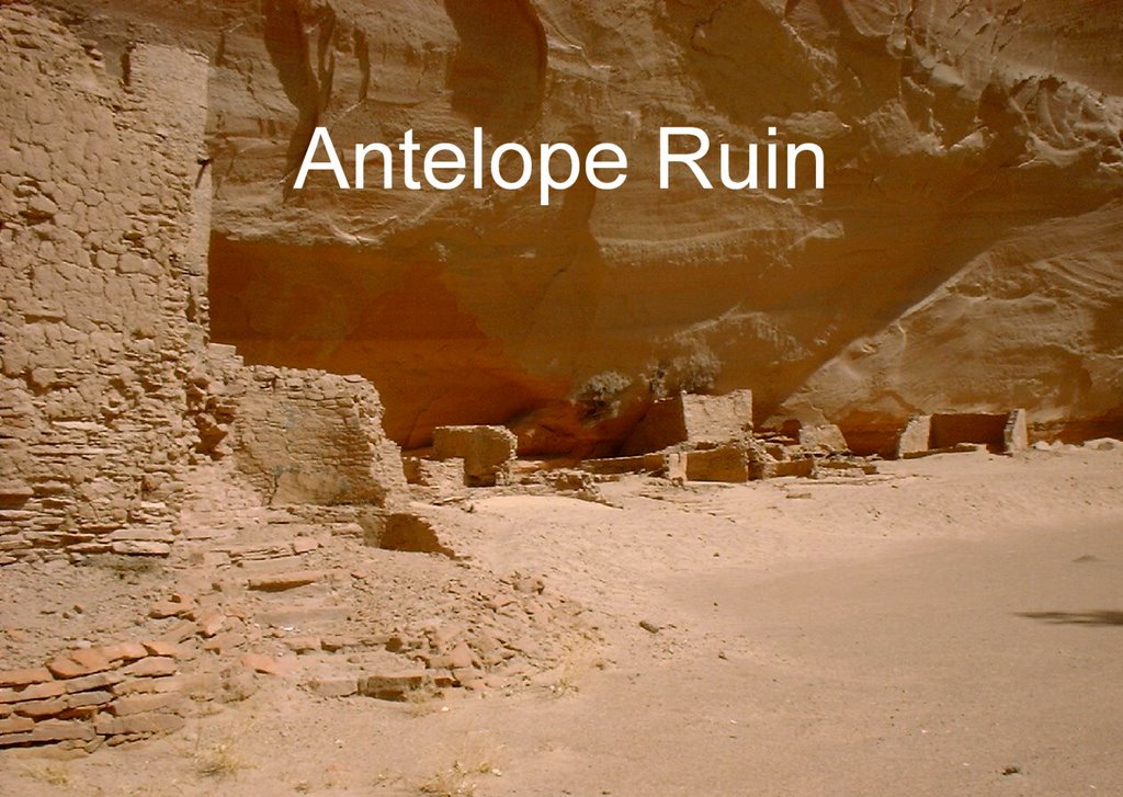
 Canyon de Chelly is actually two main canyons, Canyon de Chelly (Chelly being an Anglicization of the Spanish attempt to spell "tseyi", the Navajo name meaning "in the rock") and Canyon del Muerto, named for the number of Anasazi remains found there. The canyons are filled with thousands of Anasazi ruins, and extensive rock art.
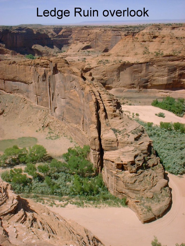
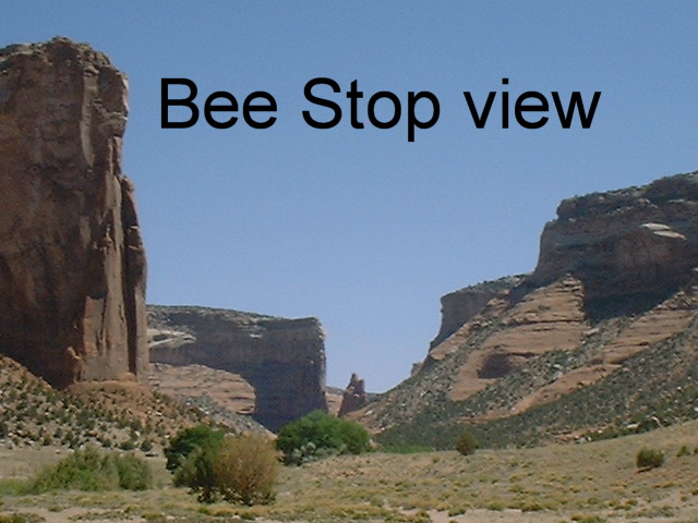
  The Navajo consider this land their native homeland, even though the Anasazi lived here before them. Except for one hike, visitors are not allowed unescorted into any of the canyons. Scenic drives take you to 4 impressive overlooks of Muerto, and 8 equally wonderful overlooks of Chelly. We attended several ranger talks at the campground, which mainly focused on the history of the Navajo people.
  In the 1800s there were many attempts to subdue the Navajo, until Kit Carson led a campaign of several years, finally starving the Navajo out of their last hiding place, Canyon de Chelly. After the Navajo surrendered in 1864, 8500 were marched in groups across 400 miles of mountain & desert to Fort Sumner, NM.
  Many died on this "long walk" and more soon after. Finally, on June 1, 1868, the survivors signed a treaty, allowing them to return to their homelands. Since 1931, the NPS has administered the 130 square miles of the Natl Mon for the Navajos who still farm the canyon in the summer.
Doug joined the weekly ranger-led hike into the canyon (Willie had hip problems while hiking near Winslow, and was uncertain about hiking with a group). A certain lack of organization led to a late (9:30) start, and to a heat-of-the-day (1:30) climb out.
 The new hydration pack, however, worked like a champ, and being able to see numerous ruins and rock art close up was truly wonderful.
We both went on an all-day Navajo-led "jeep" tour of the canyons -- the jeep being a modified Korean War vintage 6-wheel-drive personnel carrier (Unimog).
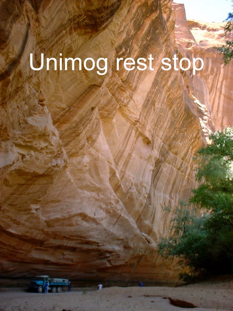
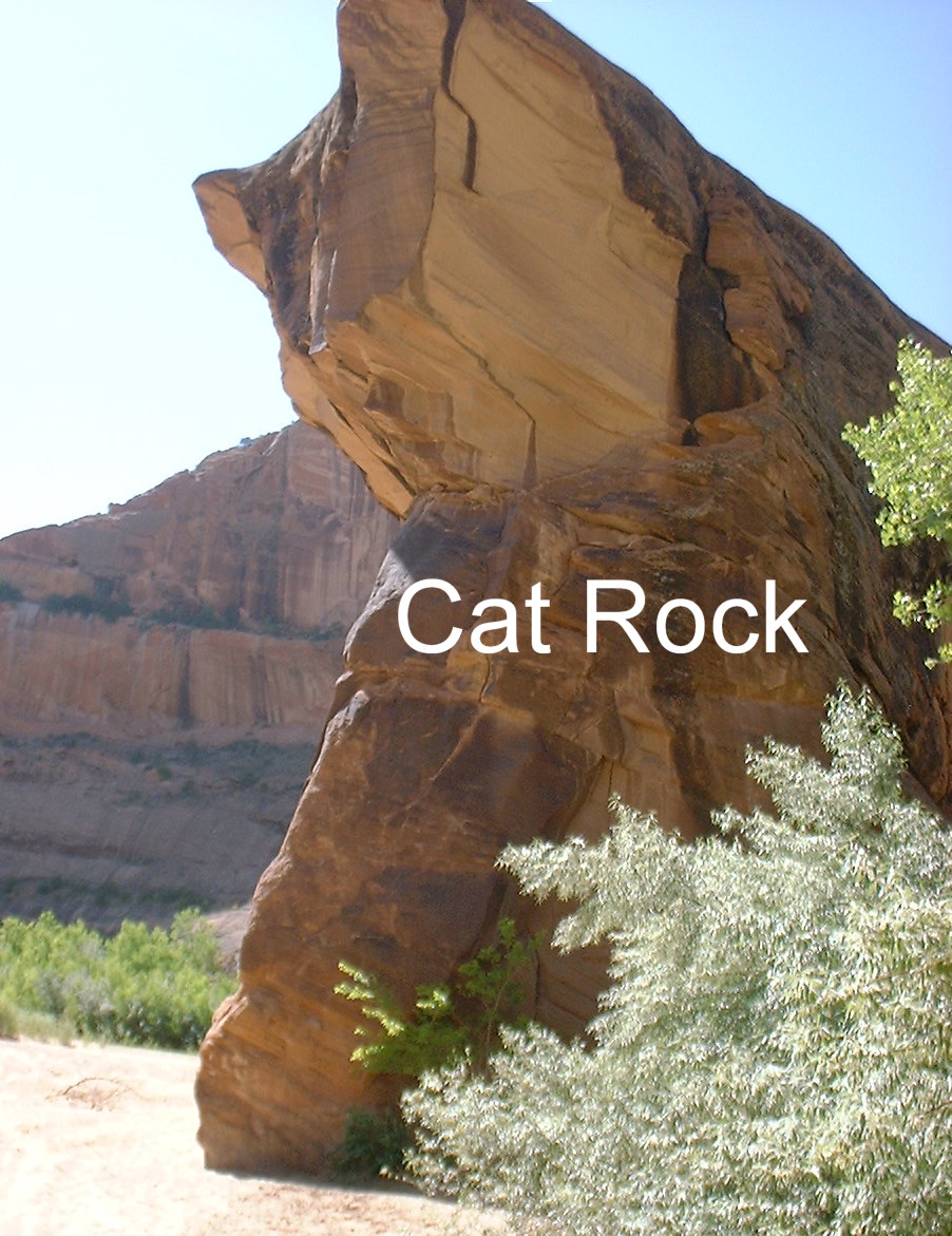
The driver (a Navajo who seemed to enjoy "working the crowd") stopped at all major ruins, as well as some good rock art, ending with a stop at Spider Rock, an 800-foot tall twin spire of sandstone. Spider Rock was named because the first weaver who lived there was called Spider Woman.
The next day we drove to Hubbell Trading Post Natl Historic Site, begun in 1876 and still an active trading post. Trading posts were social centers of the Navajo Nation, where no formal communities existed, and Hubbell, while becoming wealthy transacting with the Navajo, served as their liaison to the outside world, translating and writing letters, settling family quarrels, and explaining government policy.
 When a smallpox epidemic swept the reservation in 1886, he worked day and night caring for the sick and dying, using his own home as a hospital. Hubbell sold the land, buildings & contents to the NPS for a very reasonable sum, on the condition that they would always maintain a trading post there. We were just in time for a guided tour of the old house, which contains so many valuable works of art (paintings, drawings, baskets, rugs & pottery) that there is a curator on staff. Our guide, a very young appearing Navajo grandmother, shared her interesting views on combining the Navajo culture with modern US culture.
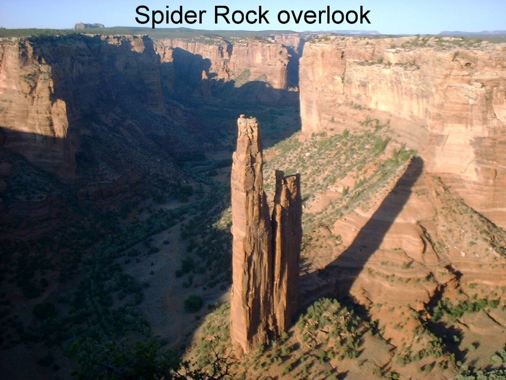
 We hope those of you also experiencing this early heat wave have lots of electricity to run your air conditioners! Unfortunately, it is not possible to carry enough batteries & solar panels to operate a/c. However, at least we have the cooler nights of the dry desert climate. We will be moving to a slightly cooler climate tomorrow. The cats, who are all doing well now, will be pleased. And we have promised them electricity in case we need the a/c.
Lyman Lake State Park, St. Johns, AZ - June 2-8

 This is another of AZ's lovely little-used SPs. Lyman Lake was the first recreational SP in AZ. Unfortunately, due to budgetary issues, some of these parks are in danger of being closed.
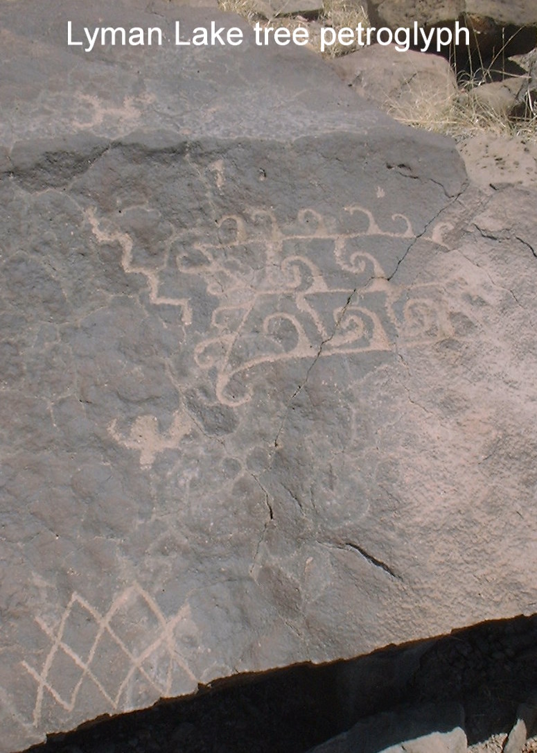
 I guess they figure fewer people will complain about this than other ways to make ends meet for the state. We think it's a shame for them to possibly lose forever such lovely & historic resources. Both Homolovi and Lyman Lake have ancient sites & rock art that it would be a shame to leave unprotected. For only $2, they took us over to the other side of the lake in a pontoon boat to see the park's best rock art. There was also a hiking trail on a peninsula that led to much more rock art.
  Much wasn't marked, so we just had to keep looking. When there wasn't rock art, there were lovely views of the lake & surrounding area. We also drove to the Rattlesnake Point Pueblo, a compact pueblo village with about 85 rooms, of which 4 have been excavated. There is also Baca Pueblo nearby, also on the SP's property, but it has not been excavated.
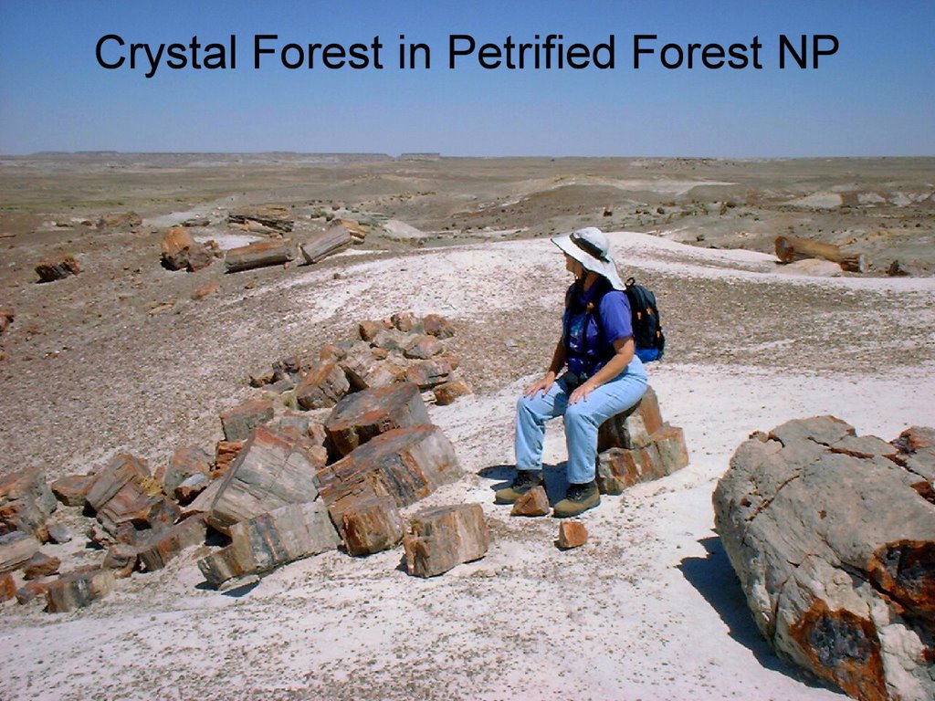 We spent a full day driving over to Petrified Forest NP (about 60 miles) & visiting the various exhibits, overlooks & hiking trails. We of course saw lots of petrified wood in the southern part of the park. It is amazing that there is any left, since in the late 1800s and early 1900s so many people were carting off as much as they could carry. Some of it looks so much like wood & wood chips, you have to pick it up & feel it to be sure it's rock. There are several trails that wind through vast quantities of petrified wood. We walked on the Giant Logs and Crystal Forest trails; the Long Logs & Agate House trails were closed for renovation.
 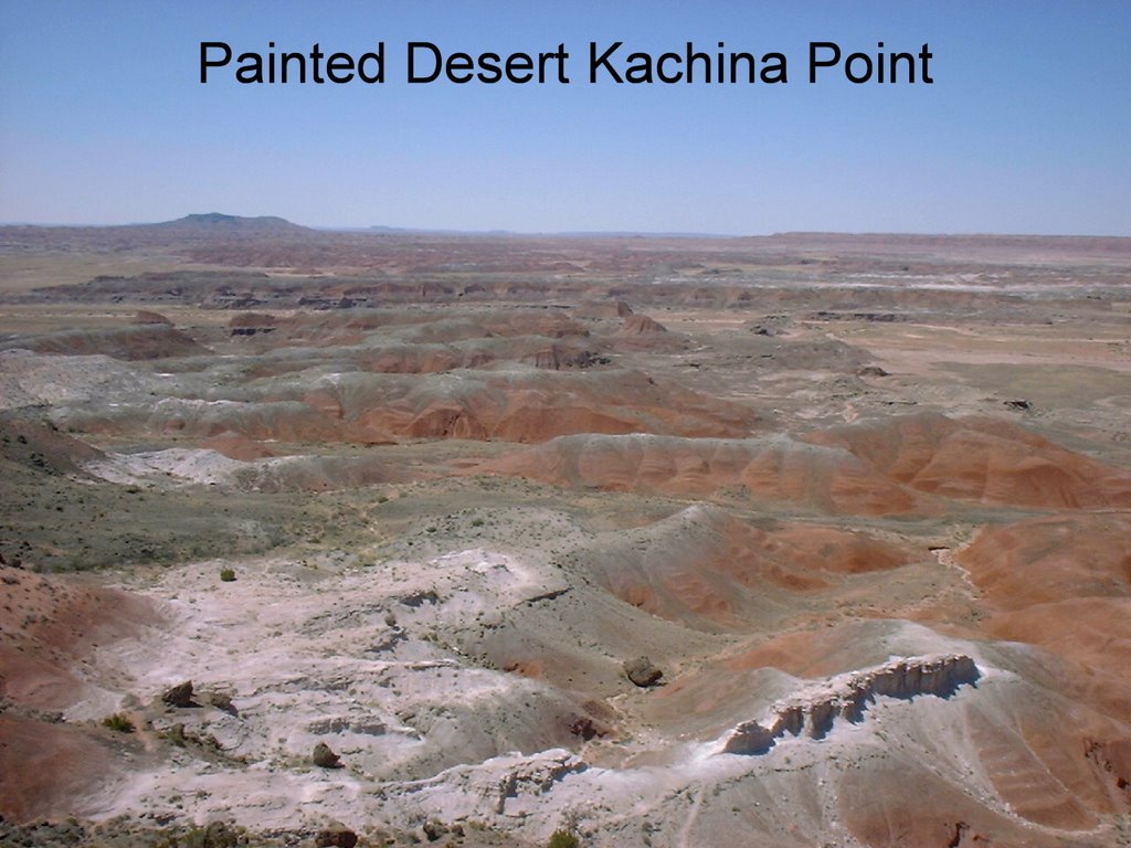 Further north in the park is the Painted Desert, with spectacular overlooks & a lovely rim trail, with outstanding views of the brightly colored hills. The Painted Desert Inn was built in 1924 and was named a Natl Historic Landmark in 1987. In the 1930s, the CCC did extensive restoration on it. It supplied Route 66 travelers with meals & lodging until it closed in 1942.
  In 1947, the Fred Harvey company took over more renovations, under the supervision of Mary Elizabeth Jane Colter (whose La Posada Hotel we visited in Winslow), and it was again opened. Fred Kabotie, a renowned Hopi artist, was hired to paint murals of Hopi culture on several walls. It closed again in 1963 as an inn, but it is now in use as a museum & information center for the park. The murals are gorgeous. There is also a pueblo located in Petrified Forest, Puerco Pueblo, probably occupied about 700 years ago. In addition to partially excavated rooms, there is also some fine rock art and an interesting solar calendar.
  We also walked the Blue Mesa loop trail, which descended from the mesa top down into cone-shaped badland hills of bentonite. The minerals in the soil are responsible for bands of blues & violets in the unique land forms. The hills of the Painted Desert area are mainly shades of red, so there is quite a contrast.
 Another day's outing was to the Springerville (AZ) area, where we visited Casa Malpais Archaeological Park, which contains a 16-acre pueblo occupied by the Mogollon (Western Pueblo) about 600 years ago. It is one of the largest & most complex ancient Mogollon communities in the US. We were able to take a fairly extensive tour of the pueblo with a guide from the center in town. Of special interest was the "room" called the "observatory", which was described to us by an archaeologist we met later in the day as a solar calendar second in size only to Stonehenge. This room had various windows & doorways which were lit by the sunrise & sunset at special times of the year.
 Also near Springerville was the Little House Museum, located on the grounds of the X Diamond & MLY Ranch, a working cattle ranch since 1879. Many famous people have visited here, and the tour includes items of local history, turn of the century (19th-20th!) fashions, antique musical instruments & amusing anecdotes. Every imaginable musical device was on display: nickelodeons, Edison phonographs, Swiss music boxes, all in good working order. Also a Violona, an "automated" violin & piano, which plays when you put in the correct coins. The US Patent Office voted the Violona one of the 8 greatest inventions of all time in the late 1800s. We weren't as impressed. The tone was akin to a not-so-very-talented child's recital ("Minuet in G"), and the tuning of this item left something to be desired, hence their relative lack of popularity and current scarcity! Also on the ranch property was the Little Bear archaeological site, which we also visited. Visitors can participate in the excavation, under the guidance of an archaeologist.
Homolovi Ruins State Park, Winslow, AZ - May 21-27
 We picked this park as a good place to "hide out" for the holiday weekend plus visit the old ruins. We were, as usual, taken by surprise at the large number of interesting things to see in the area. Within the park are several old pueblos, which are mainly unexcavated. All you see are a few remains of walls, LOTS of broken pottery, and many petroglyphs. It is a lovely campground, with large spaces, and it was never over half full even on the holiday weekend. There wasn't much opportunity for birding, but we did see our first Cassin's Kingbird and Horned Lark.
 History in the Winslow area goes WAY back. The first wagon roads came through in the 1870s. Mormon settlers founded several communities in the early 1880s, with Winslow being founded in 1880. It was along the historic route of the Santa Fe Railway and has a great old Harvey House designed by Mary Coulter in the early 1900s (before women could even vote!), La Posada Hotel.
 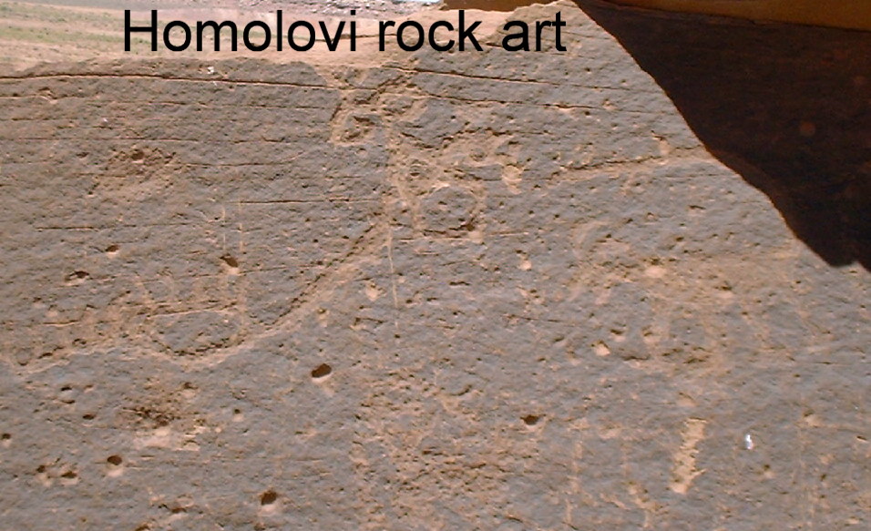 The hotel has been restored and is open for business, including a gourmet restaurant with wonderful food and a Howard Hughes suite. Winslow was located on historic Route 66, and has lots of shops and memorabilia on this theme.
 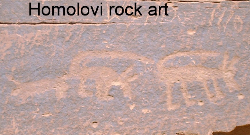 Winslow was also a stop on the first transcontinental air/rail route (slogan: "NYC to LA in UNDER 48 hours!"), and the airport is still big enough for larger planes. With the advent of I-40 in the 60s, Winslow was bypassed, and somewhat forgotten.
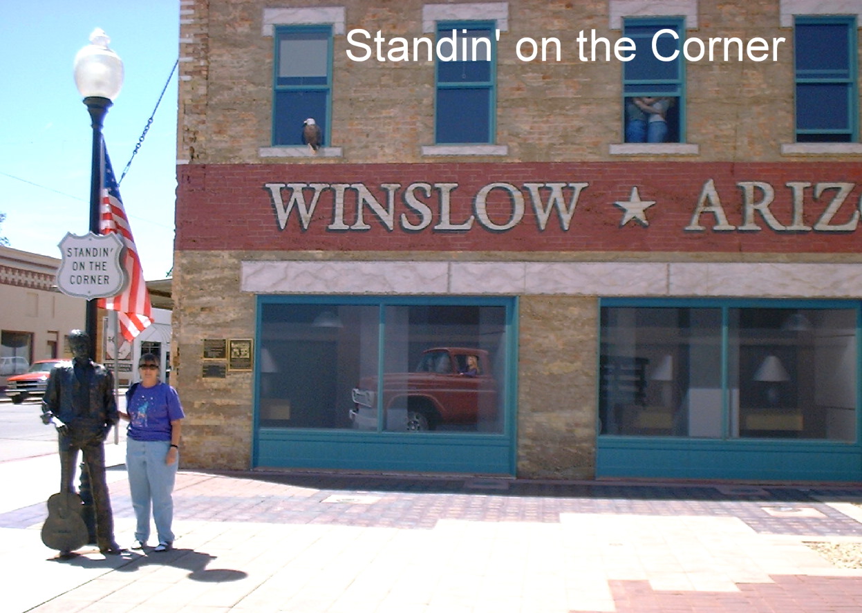 The Eagles song "Take It Easy", popular in the 1970s, had a verse about "standin' on a corner in Winslow, Arizona...", and that still draws visitors to stand on the famous corner. It is memorialized by a small park with a life-sized bronze statue of a guitar player and a mural of the woman driving by in her flatbed Ford. The Old Trails Museum, often referred to as "Winslow's Attic", houses interesting exhibits of the various stages in Winslow's history.
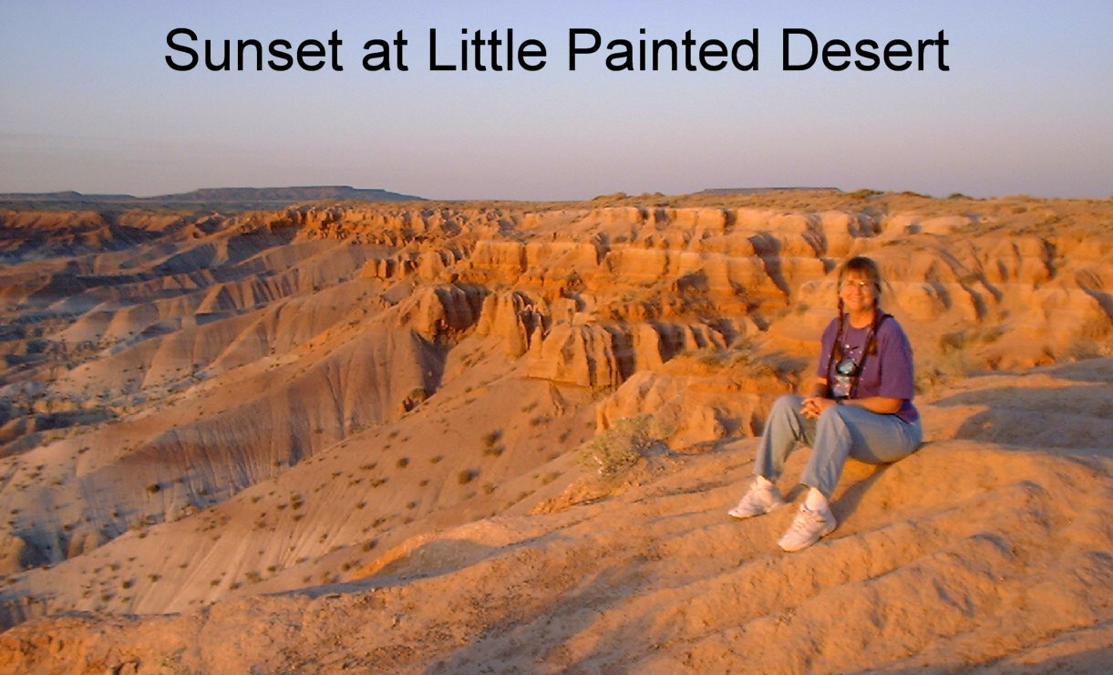 We visited the Little Painted Desert County park, about 13 miles north of the state park, for a lovely sunset view. The area has several nice little county parks, which unfortunately show the lack of money for such amenities in the county.
 The absolute high point of our stay here was our visit to Rock Art Ranch, located outside of town about 25 miles. This is a privately owned working ranch, which contains a portion of Chevelon Canyon, home to one of the finest stands of Anasazi petroglyphs in the Southwest. While there we saw a small Anasazi, pioneer & cowboy museum -- all quite interesting. They have not dug for anything on the ranch but have just picked up things uncovered by the wind. They have many pottery items, most of them unbroken, from various time periods. On the way to the canyon, we saw a small group of buffalo (including one giving birth!),
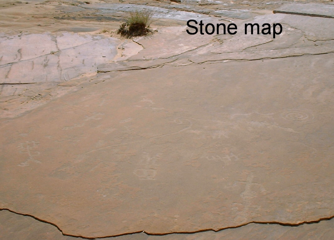 remains of a Native American rock corral, house & hogan. The canyon itself is lovely in its own right, with lush vegetation and water flowing even during these dry times. The petroglyphs are probably the best we've ever seen -- they were everywhere you looked. I'm sure the owners find more every time they go down there.
![]()